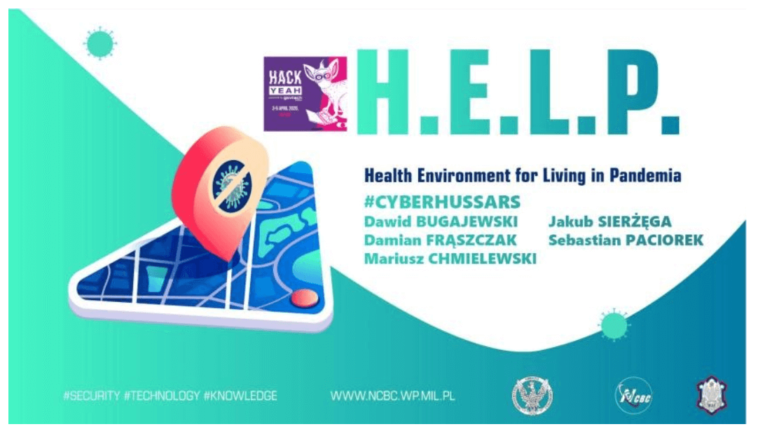
The Finalist | H.E.L.P. Health Environment for Living in Pandemia
The HELP system is a free mobile application integrated with server services of data aggregation. The acquisition of commonly recorded geolocation data, in the context of semantically processed location map, allows us to deduce the potential infection focal points. Having such knowledge about risky locations allows us to pay attention to their sanitization, place additional security procedures, and above all, notify people exposed to the virus.
Project description:
HELP is an application that protects users by identifying infection outbreaks and informing users about the possible risk of exposure to the virus. HELP is a system of anonymous sharing user’s location and health status, so that analytical services can locate high concentration sites, more frequently visited places, where people with a high risk of infection or directly infected people were present. HELP is, therefore, a collection of services to assist in detecting potential outbreaks of viral infections and notifying the population of such risks. All you have to do is share your location and undergo medical diagnostic and survey. We place great emphasis on data anonymization, it is the users who decide how much of their data will be made available to the requesting mechanisms to enable more accurate mapping of infections and risks. The biggest problem to be solved in the current situation is to master the situation of new infections in the realities of socially relevant services.
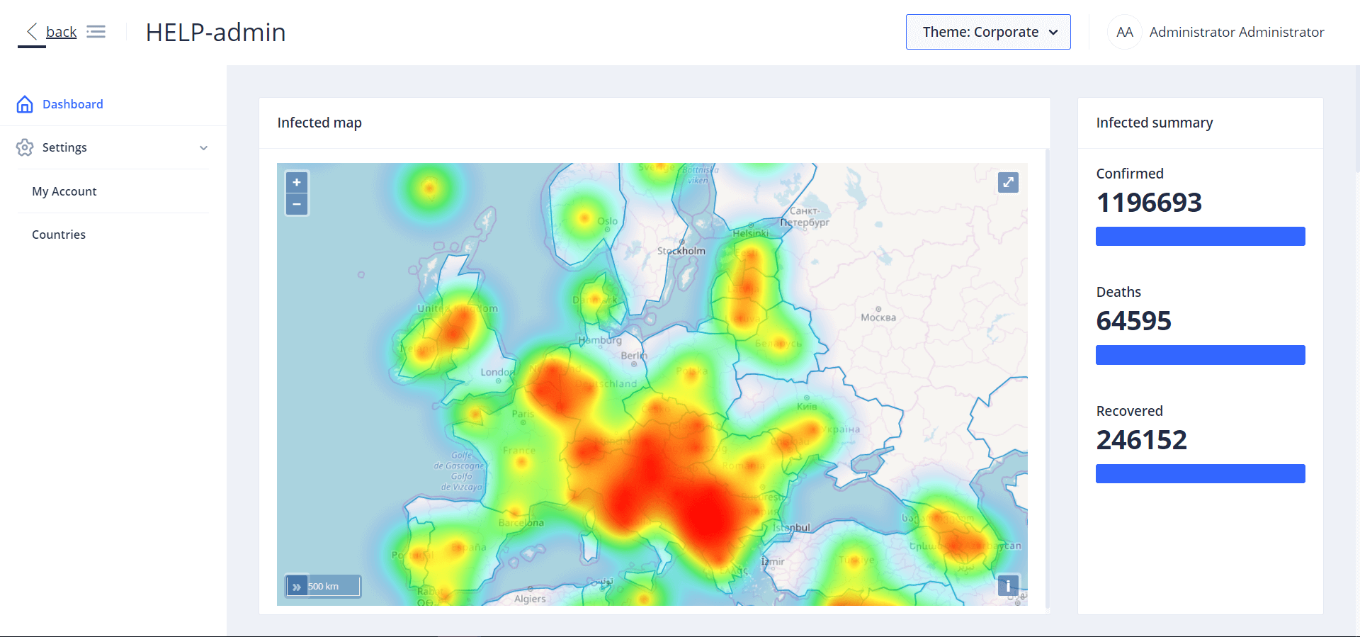
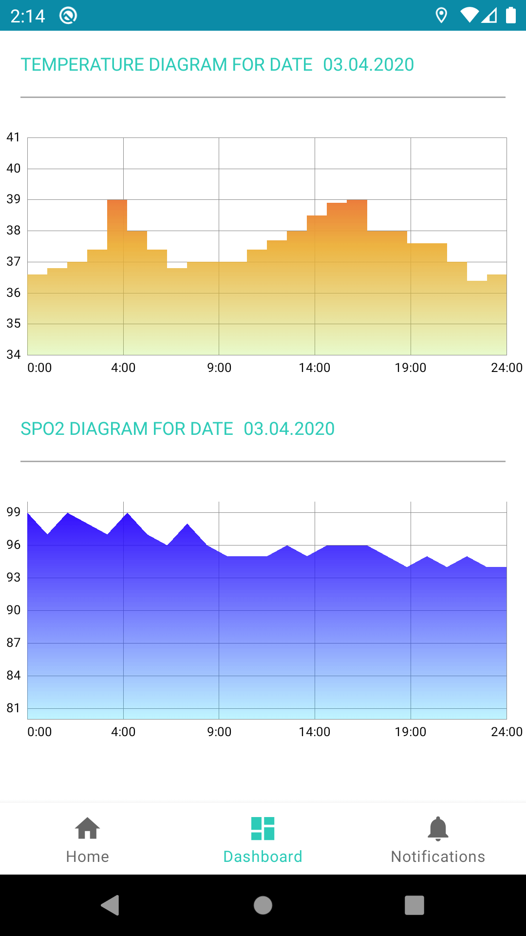
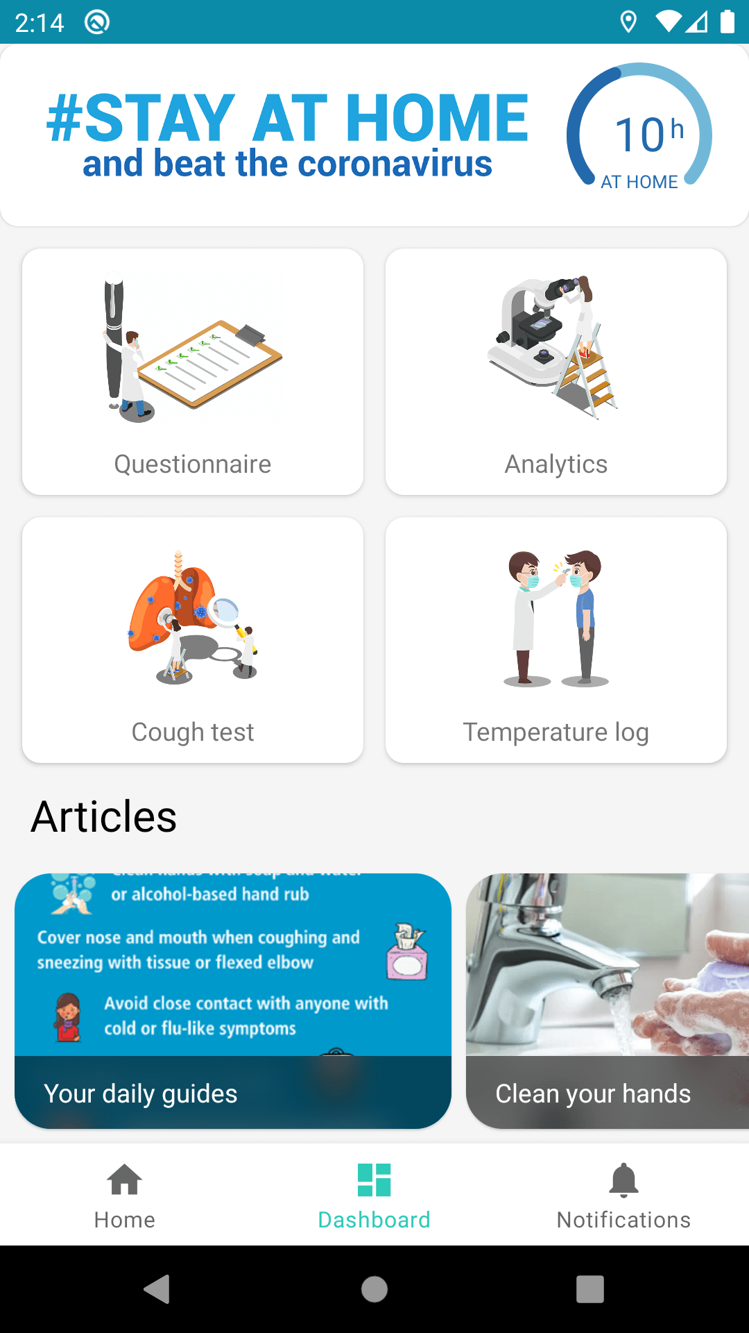
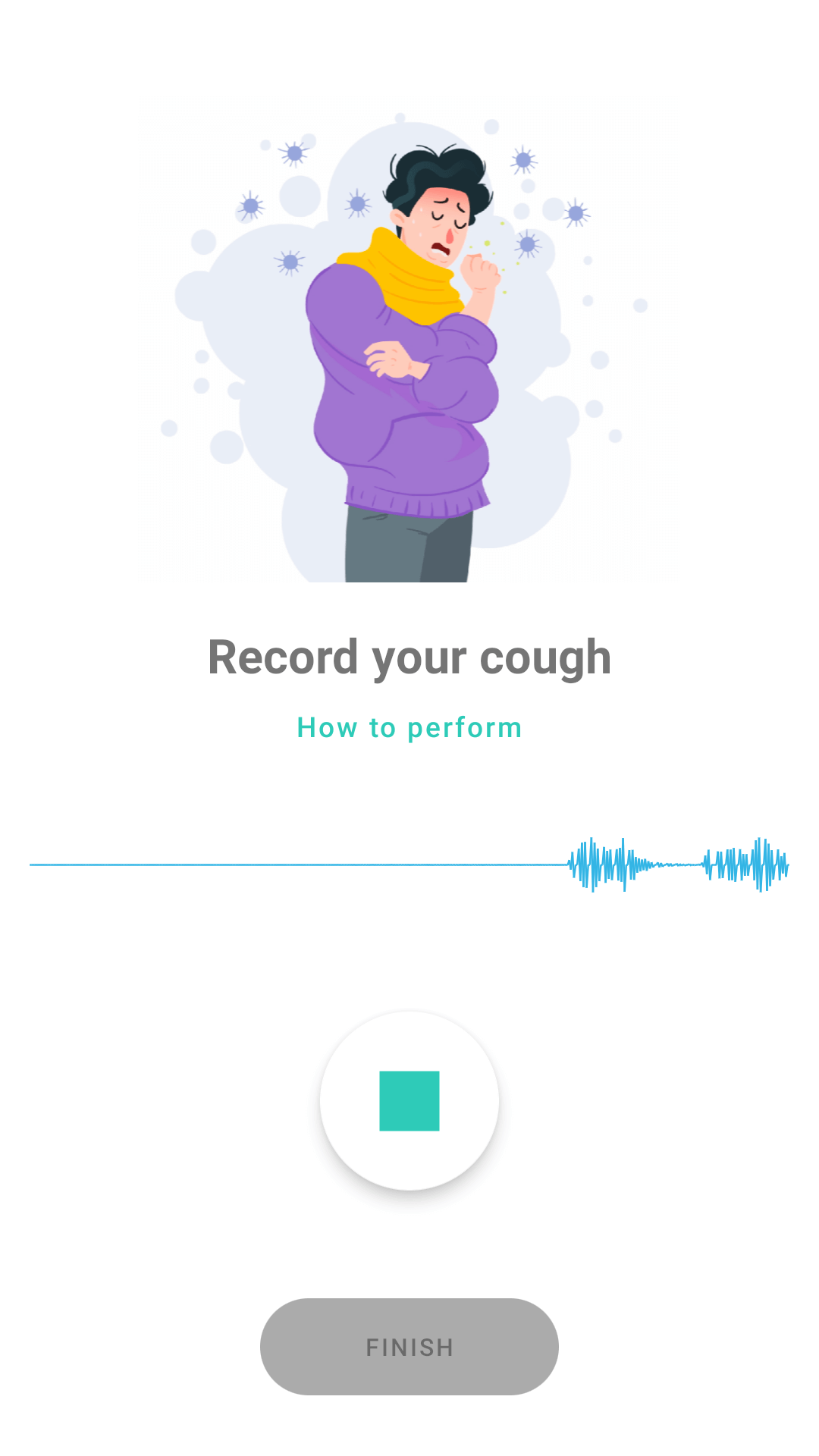
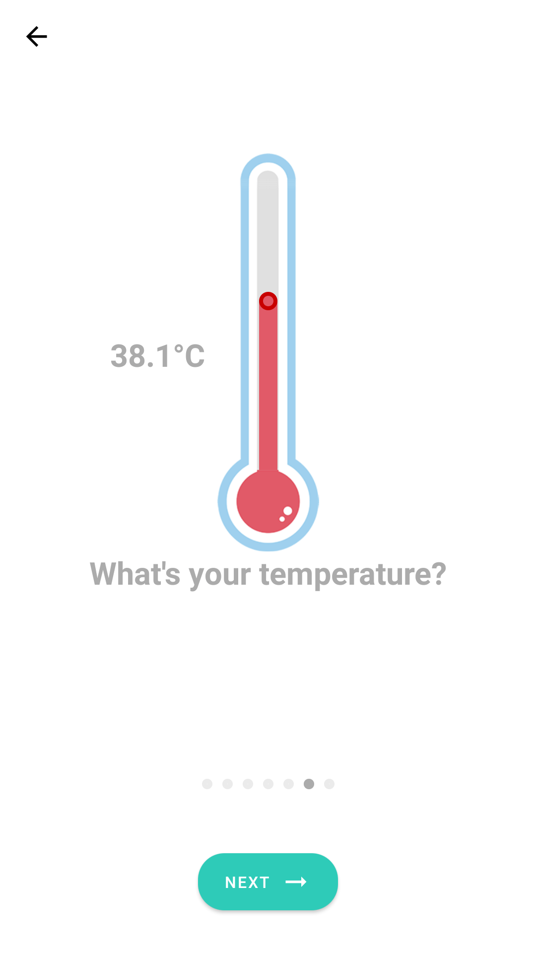
From the first use, HELP allows the user to carry out a diagnostic survey and to provide the current biomedical parameters concerning health conditions: temperature, lung auscultation, cough sound recording, pulse, and oxygen saturation in the blood (supported by available in smartphones or external medical sensors). Medical questions and measurements are dynamically adjusted to the answers given, giving a comprehensive picture of the current state of the user. Anonymized survey results along with geolocation data are transmitted to server services, which aggregate, analyze and correlate the movement paths, locations of users to determine the areas with the highest risk of CoV-SARS-2 infection. The resulting map layers are sent back to users, presenting the basic areas and popular paths where people attend, areas where marked users with a high risk of CoV-SARS-2 infection or the sick are present. If an infected person is identified or another risk of exposure to the pathogen is detected, all users with registered exposure periods at the monitored location will be notified immediately. In addition to the notification itself, the person will be subject to an epidemiological monitoring procedure – where they will be periodically asked about possible symptoms and temperature measurements. A key aspect is also the possibility to verify the maintenance of quarantine or sanitary surveillance – using geolocation and photo documentation.
Team name: CyberHussars
Project name: H.E.L.P. – Health Environment for Living in Pandemia
Team members: Dawid Bugajewski, Damian Frąszczak, Jakub Sierżęga, Sebastian Paciorek, Mariusz Chmielewski
Media: